Reach New Heights at Cuyamaca Peak
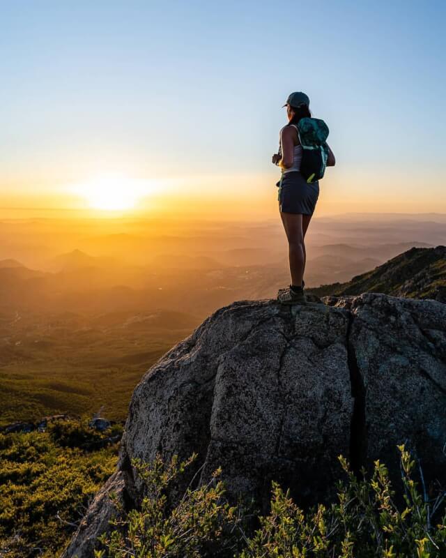
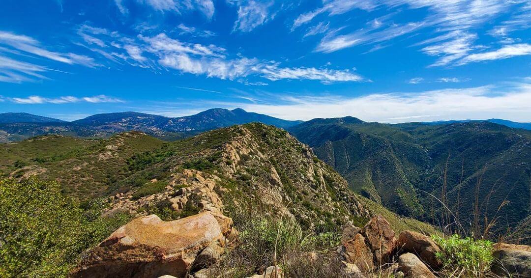
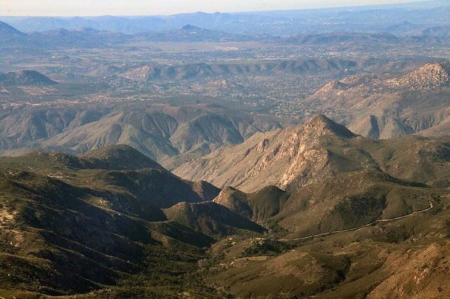
Elevated hiking trail, breathtaking views, and the second highest peak in San Diego!
Last updated: Jan 2024
Free
Description
Perfect for
 For solo
 For two
 For groups
 For parents and grownups
 Outdoorsy
 Challenging
Good to know
FREE
 Trail
Trail Open to public
 Half a day
 Onsite parking
TikTok videos
Itinerary
- Arrive to trail early
- Start hike on south Azalea Glen Loop
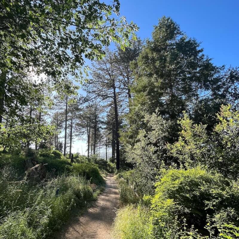
- Connect with the forests and nature around you
- Take loop Trail to Azalea Fire Road
- Take pictures in the oak trees
- Follow the Conejos Trail to the ridgeback of the Cuyamaca
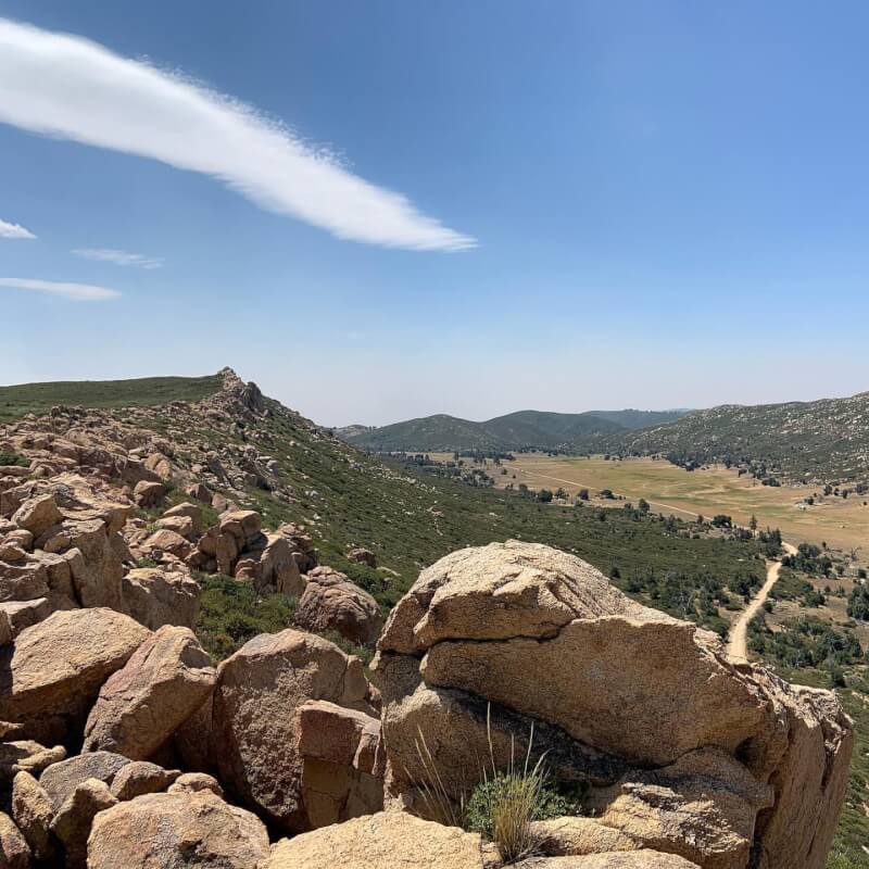
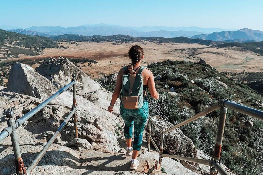
- Watch the oak trees transform into a granite and rock trail
- The trail will merge with a paved road from the top of Cuyamaca Peak
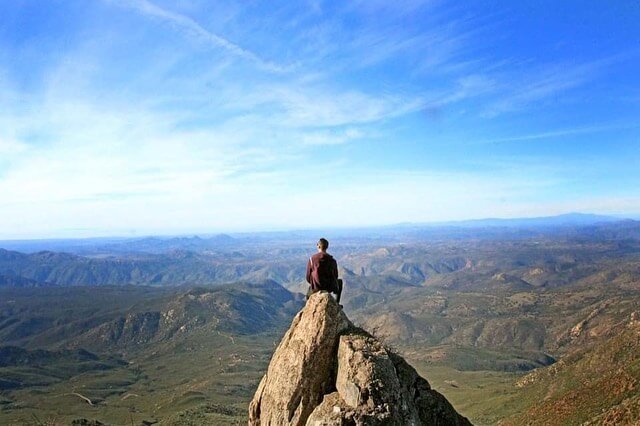
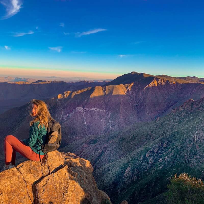
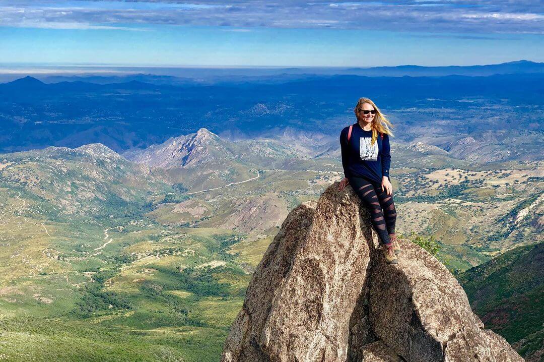
- Relish in the spectacular and breathtaking views!
 Packing List
- hiking shoes
- water
- layers of clothing
- sunscreen
- first aid kit
- backpack
- light snacks
- camera for spectacular pictures
- trekking poles
4.8 ● Google reviews
Greg K
6 months ago
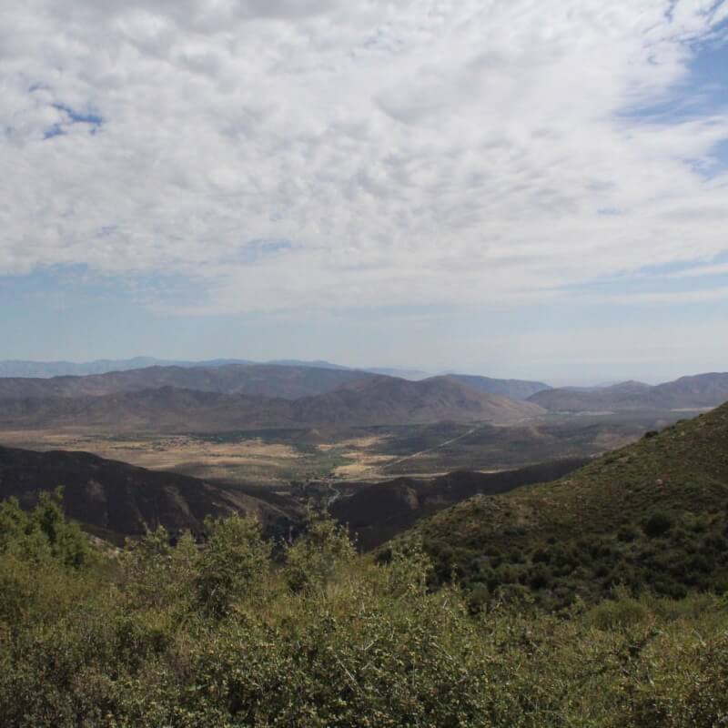
We started the hike at the Picacho Campground parking lot. You have to walk through the campground to get to the access road which goes to the peak. It is fun to hike this trail when there is snow. The trail is steep. Bring sturdy footwear, water, and food. You have to pay for parking, even if there isn’t a person in the entry shack. They accept credit cards. The view from the summit is amazing. You can see all the water from Point Loma to the Salton Sea.Jorge De León
a year ago
One of the most beautiful views that you can find out here in San Diego, a little 2 miles hike, the hills are really challenging in some parts, but average easy to get to the top, definitely try to start around 1700/1730 so you can reach the sunset!Bashar Shamwna
2 years ago
Great hike with a lot of great views. I took Lookout Road all the way to the top. It's a bit of an incline while going up, but it's worth it. Definitely recommend this place to everyone.Robert Abbott
8 years ago
Highest point in SD county at ~6500 ft. It is 2.8 miles up and ~1500 ft gain. Parking at the Paso Picacho Campground is $10. Hike through the campground to the south west towards campsite 69. There is a bathroom and water pump here too. Lookout trail is a paved service road to the peak. It is a little rough in a couple places but otherwise an easy walk up. Lower portions are a bit barren due to the Cedar fire in 2003. But you break through a into a wooded area about 2/3 of the way up which is really nice. Two large cell towers at peak are a little obtrusive ... but you still have an incredible 180 westerly views.Steven Mejia
4 years ago
Great views from the very top. I did it on a Sunday in July. It was overcast, about 84° but humid. The incline can get to you but overall it wasn't too bad. I'd recommend taking the longer route to the top since the short route is all paved and steep. Would definitely do it again.


FAQs
Are dogs allowed on this trail?
Gallery